Langtang National Park covers an area of more than 1700 square km, one of the less trodden trekking regions close to Kathmandu, no need to take any flight to reach the Langtang region to start the trek. Langtang, the Tibetan word that means to follow the Yak, can witness many yaks and pasture land as the narrow valley widens north to join with the Tibetan border. The main ethnic groups in this region are Tamang, Yalmo, and Bhutia – Tibetan-originated tribes.
The region, immensely affected by the devastating earthquake in April 2015, has completely recovered. It was mainly the Langtang village, having the same name as the Langtang region, which had its worst effect with snow slides due to the earthquake that had swift 25 teahouses at once, remaining as big boulder ground. Most teahouse owners have lost their family members, who have claimed around 300 lives. It is reported that just a couple with their child were lucky enough to escape this earthquake. We met the same lucky family who was currently running a teahouse in Langtang village, and now this couple has lots of stories to tell the trekkers about this disaster.
Teahouses were rebuilt just north of Langtang village, and trekkers are already returning to the Langtang region, so trekking trail conditions are safe. Other settlements, like Lama Hotels and Kenjin Gopma, have not been affected much by the earthquake. This Lantang region offers trekking routes from one week to Kenjing Gompa and Yala peak climbing or Naya Khang.
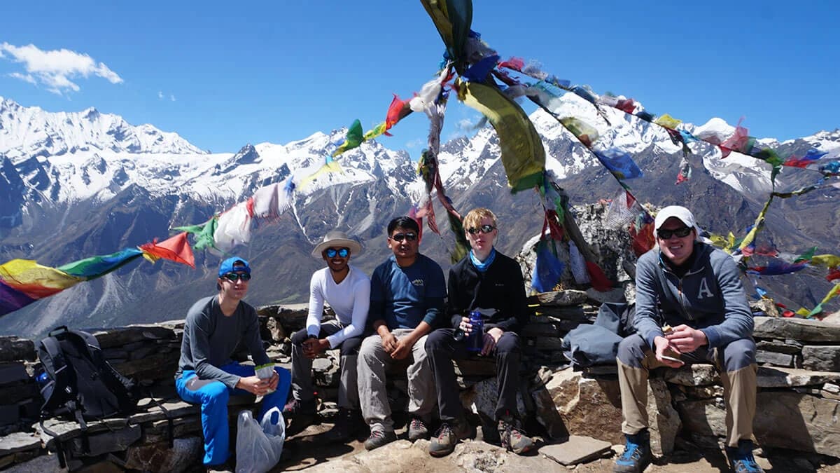
The view from Kyanjin Ri and Tserko RI is simply spellbound. Climbing the Yala peak offers a beautiful climbing experience besides simply trekking – one can probably see most Himalayan peaks from this summit, including some mountains in Tibet. One can join the Langtang trek or Langtang Gosaikunda based on time duration and physical fitness.