First-Ever Effort to Measure the Height of Mt. Everest
There are different ways of measuring the peak height. In 1954, Indian surveyors headed by Broton Mr. George Everest used trigonometry to measure this peak. Afterward, the mountain was named Everest by the head of the Surveyor; earlier, it was known as Peak XV. Since then, around ten times, many countries surveyors have measured the height of Mt. Everest, with some controversy over its actual size. With the advancement of technology, recent surveyors from Nepal and China have used Global Navigation Satellite Systems (GNSS) to receivers to determine the exact height. Thus, getting the actual Summit of Everest to get the GNSS data becomes tougher. This is the First time Nepal has used its resources and workforce to measure the height of Everest.
Mount Everest: How to Get There and Scale It?
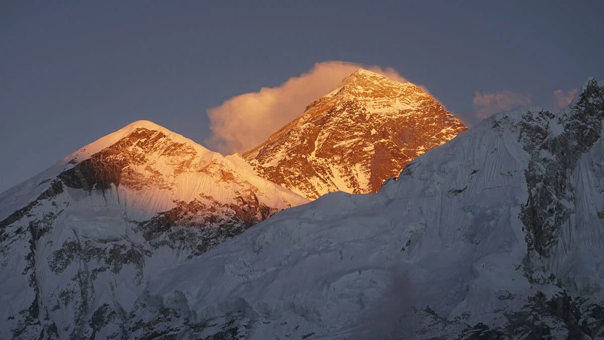
The Top of Mt. EVEREST is covered by hard rock snow surrounded by around 4 meters of softer snow. Due to its high from the Sea level, only One-third level of oxygen is available on the summit. Mount Everest is located in a small, isolated range of the Himalayan, thus known as the Third Pole. It is difficult to get closer and more difficult to climb it even with the significant advancement of climbing gear, communication devices, and weather forecasting systems than the first-ever attempt in 1922 from the Tibetan side. One can join the Everest Base Camp Trek to get to Mt Everest or the Everest Expedition to reach the Top of Everest at 4848.86 meters/ 29,031 feet.